Central Coast Fine-Scale Vegetation Mapping Project
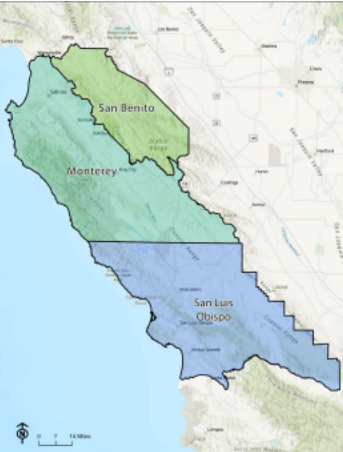
Monterey, San Luis Obispo, and San Benito County make up 5 million acres of California’s Central Coast Region. This area, though it represents only 5% of California’s land area, possesses an outsized share of the State’s agricultural, natural, and cultural riches.
Monterey County’s landscapes include the most dramatic coastline in the state, the rich and fertile bottomlands of the Salinas River, which produce over half of the nation’s leafy greens, and the rugged Santa Lucia Mountains, which host rare plant and tree species such as the Santa Lucia fir.
In San Benito County, Pinnacles National Park features stunning rock formations and rare plant communities. In San Luis Obispo County, the 246,000-acre Carrizo Plain is the largest remaining native grassland in California.
The three-county area is dominated by working landscapes, with millions of acres of rangeland, vineyards, and cultivated cropland. The challenges facing the Central Coast are growing. Drought, wildfire, climate change, sea level rise, population growth, invasive plants, insect pests, urbanization, and other challenges are on the increase. It is critical for land managers and planners to have the best possible environmental geospatial datasets at their ready to help face these challenges.
Geospatial datasets that accurately characterize topography, forest structure, wildland fuels, impervious surfaces, fire weather, and fine-scale vegetation are critical for resource managers to analyze the landscape, formulate plans, and develop management strategies for water resources, wildlife, vegetation, fuels, and climate adaptation. The lack of these high-resolution datasets in Monterey, San Luis Obispo, and San Benito counties is a critical data gap.
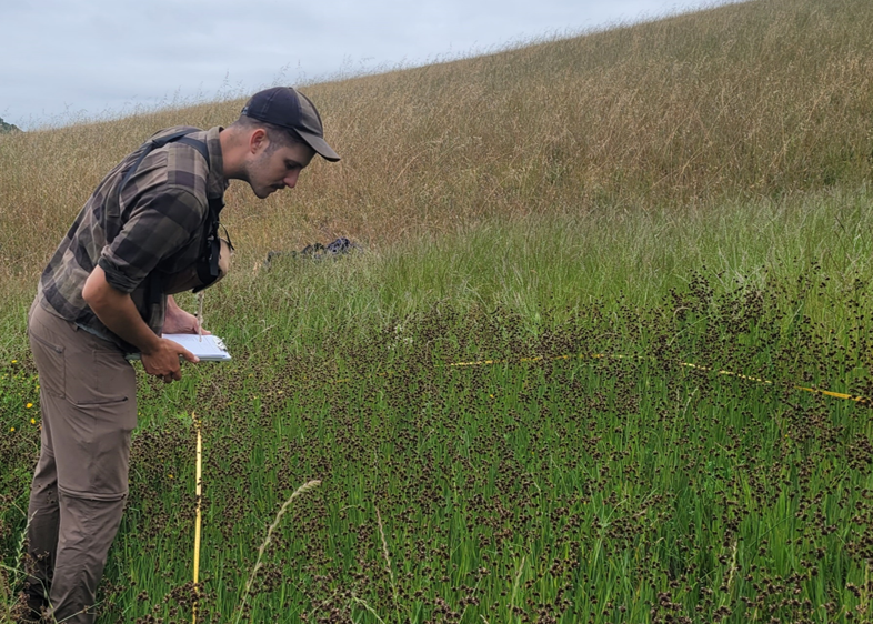
The Central Coast Resource Conservation Districts (RCDs), including the Coastal San Luis, Upper Salinas-Las Tablas, Monterey County, and San Benito County RCDs, have collaborated to fill these critical data gaps. The RCDs seek to collect a large body of new detailed vegetation survey data, develop a 5-meter fuel model, wildfire hazard and risk index, and associated datasets, and a fine-scale vegetation and habitat map for these three counties.
For more information, please click the links below:
The site provides access to fine-scale vegetation, topographic, wildland fuels and other mapping data for a growing number of California Counties.
https://pacificvegmap.org/
The link below is a story map that provides information about the data products, the methods to create them, and information on how to access the data for use in GIS software.